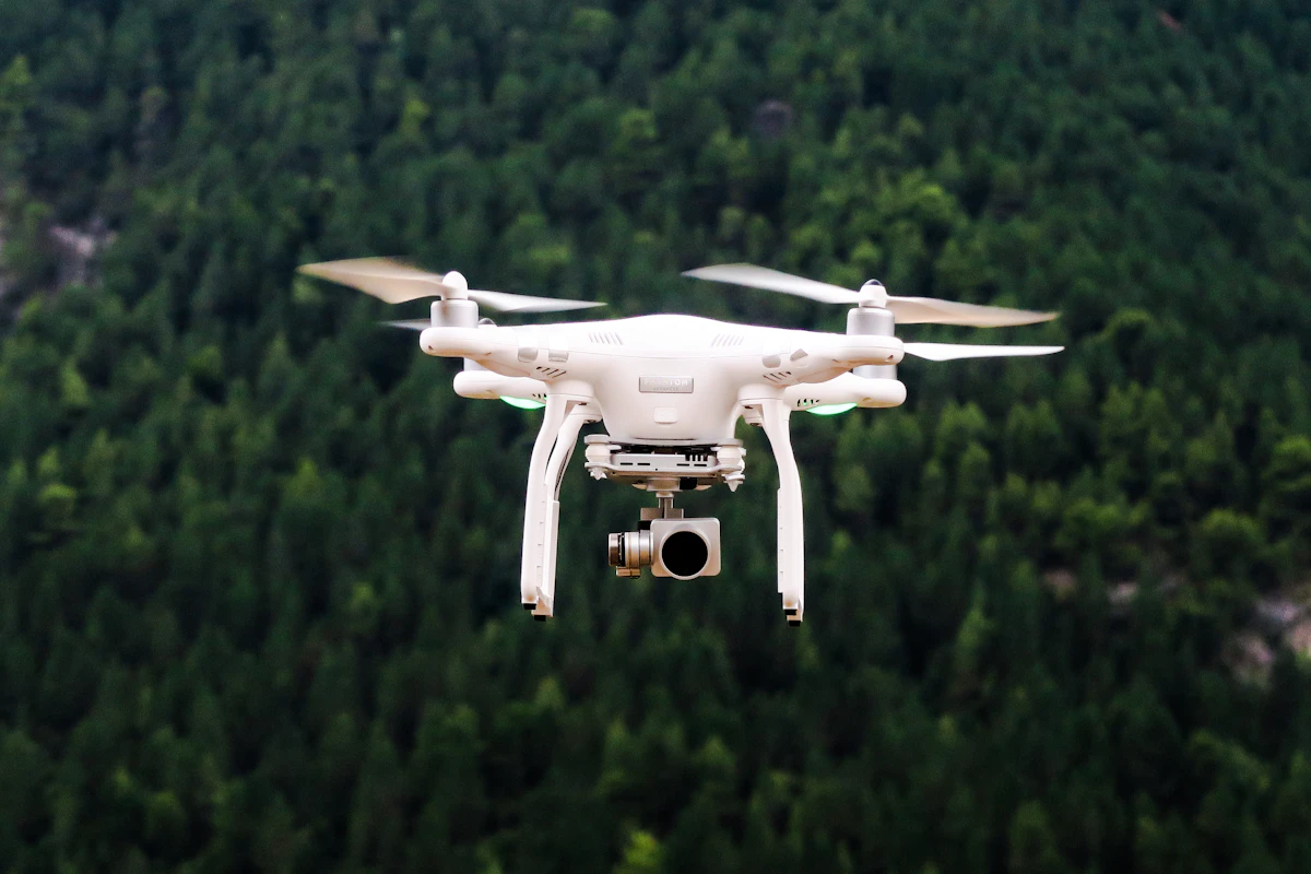
How Delglobe leverages commercial UAVs, airborne LiDAR, and real-time kinematic satellite positioning to deliver sub-centimeter topographical models in record time.
Key Takeaways
- RTK GNSS provides real-time centimeter-level positional accuracy without tedious optical traversing.
- Drone LiDAR penetrates dense tree canopies to generate authentic bare-earth Digital Elevation Models (DEM).
- High-resolution orthomosaics replace weeks of ground measurement with hours of automated flight missions.
- Delglobe’s integrated sensor workflows accelerate civil engineering, drainage, and road design schedules by over 70%.
Revolutionizing Spatial Data Capture
Historically, mapping a 100-acre tract of rugged or forested terrain in Kenya required survey crews armed with optical theodolites and machetes to hack sightlines for weeks. Today, the convergence of **Real-Time Kinematic GNSS (RTK)** and **Unmanned Aerial Vehicles (UAVs) equipped with LiDAR** has revolutionized spatial data capture.
At Delglobe Consultants Limited, we have integrated these advanced geospatial technologies into our everyday field workflows, providing architectural firms, civil engineering contractors, and county planning directorates with unprecedented data density.
—
How RTK GNSS Elevates Precision
Standard GPS devices (like mobile phones or consumer receivers) operate with horizontal errors of 3 to 10 meters due to atmospheric interference and satellite clock drift. In contrast, **RTK GNSS** utilizes a stationary base station established over a known trigonometric coordinate paired with an agile rover receiver.
1. **Carrier-Phase Tracking**: The base station calculates instantaneous error corrections from GPS, GLONASS, Galileo, and BeiDou constellations.
2. **Instant Radio/Cellular Corrections**: Corrections are transmitted to the rover in real-time via UHF radio or cellular NTRIP caster.
3. **Sub-Centimeter Fix**: The rover calculates positional vectors with horizontal precision within 8mm and vertical precision within 15mm.
—
Drone Photogrammetry vs. Airborne LiDAR
While standard drone photography generates impressive aerial visual maps, it faces severe limitations in areas with dense vegetation, tall crops (like tea and sugarcane prevalent in Western Kenya), and high topographic relief.
| Capability | Drone Photogrammetry | Drone Airborne LiDAR |
| :— | :— | :— |
| **Data Source** | Passive optical imagery | Active laser pulses (hundreds of thousands/sec) |
| **Canopy Penetration** | Obscured by tree crowns and foliage | Multiple returns penetrate gaps to capture bare earth |
| **Output Type** | 2D Orthomosaic & 3D Textured Mesh | Dense classified 3D Point Cloud (LAS/LAZ) |
| **Best Application** | Open urban lots, quarry volumes, corridor overviews | Forested land, steep river valleys, infrastructure routes |
By coupling both technologies, Delglobe produces **Classified Digital Terrain Models (DTMs)** that strip away vegetation to reveal the true underlying ground topography, ensuring civil earthwork calculations are accurate to the cubic meter.